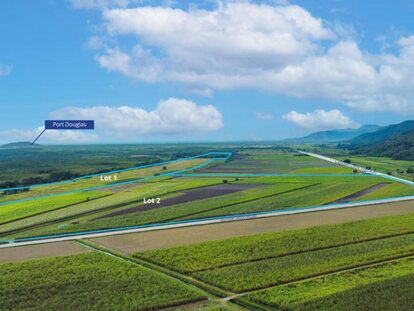
Location:
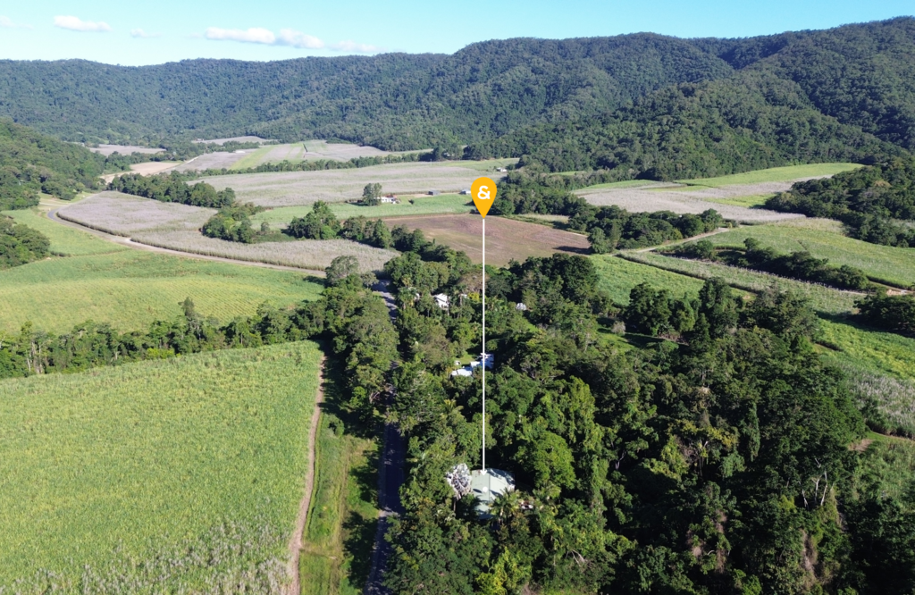
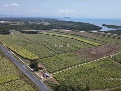
Mission Beach is located approximately 139 kilometres south of Cairns and 28,5 kilometres north of Townsville.
LGA & Postcode:
Cassowary Coast Region, 4852
Area:
13.6 km2 (5.3 sq mi)
Population (census 2021):
1,014
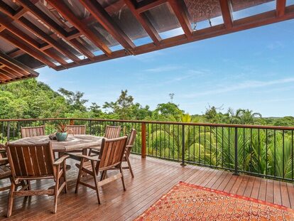
Living in Mission Beach:
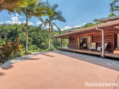
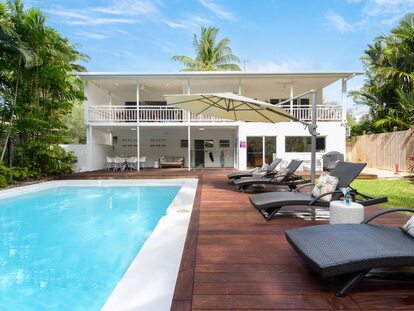
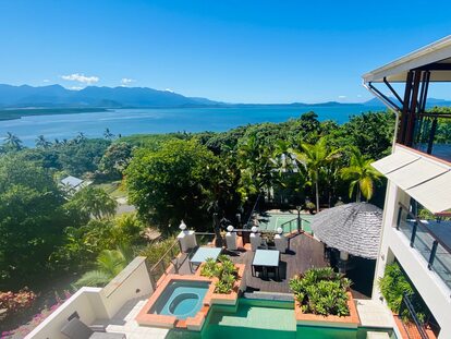
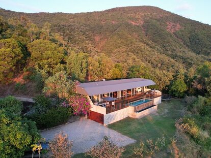
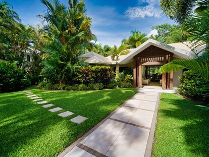
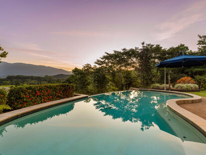
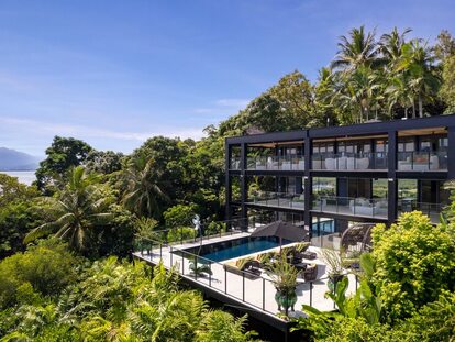
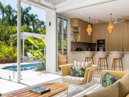
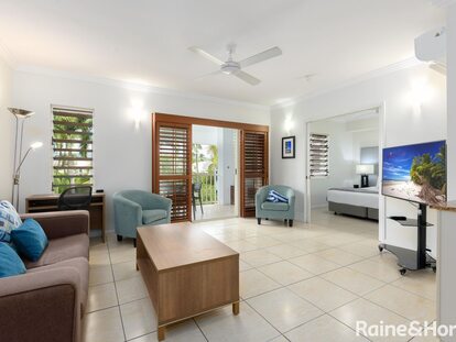
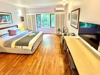
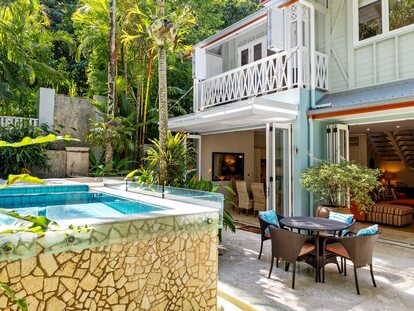
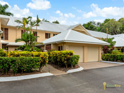
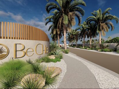
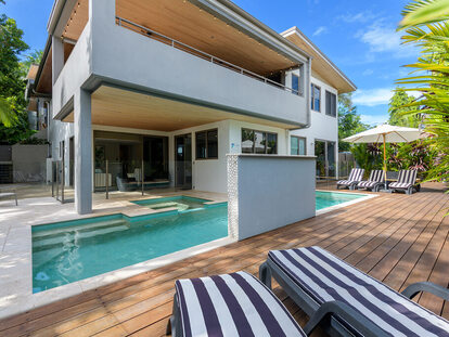
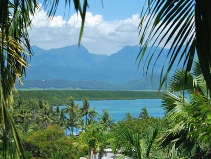
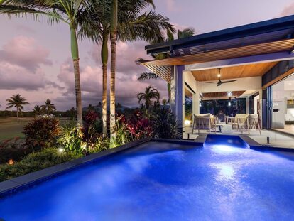
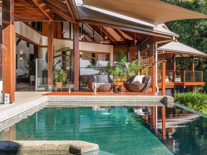
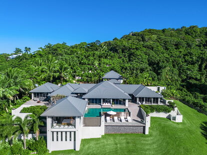
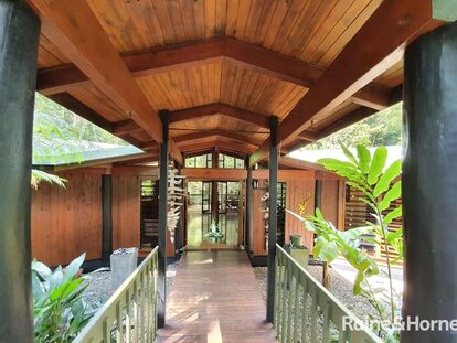
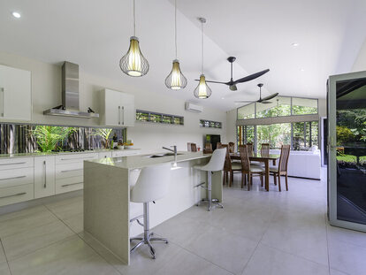
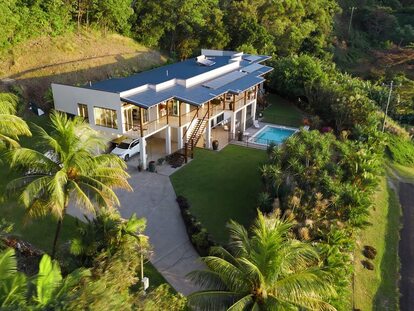
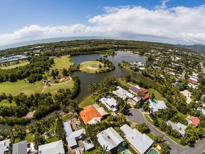
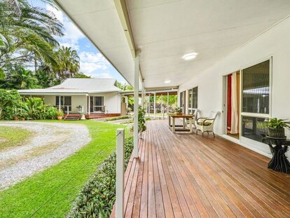
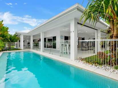
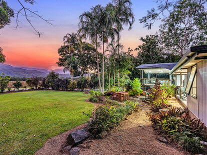
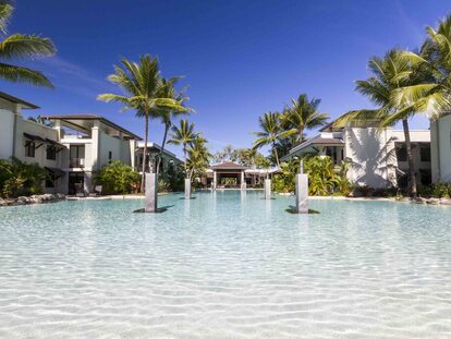
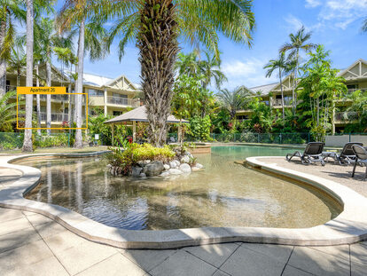
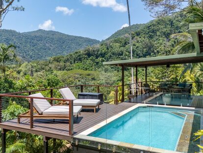
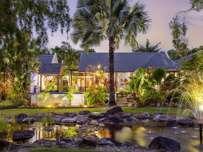
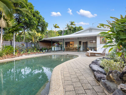
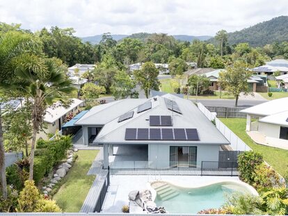
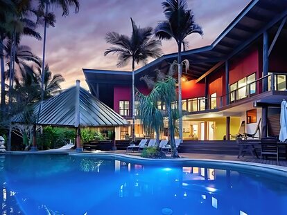
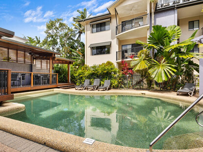
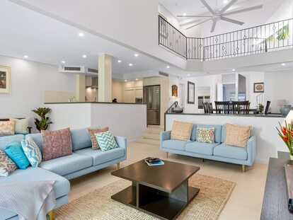
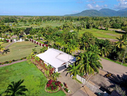
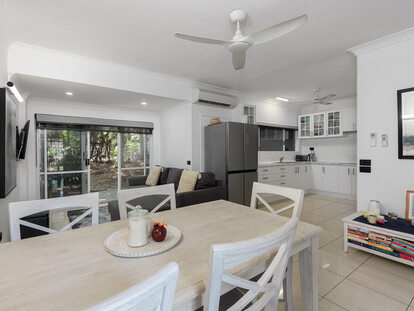
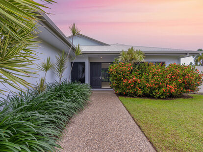
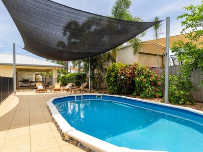
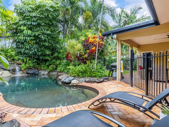
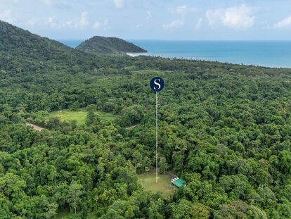
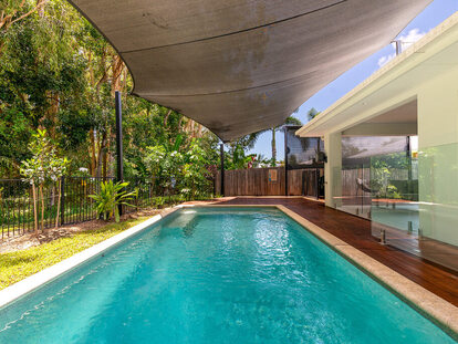
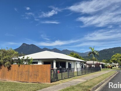
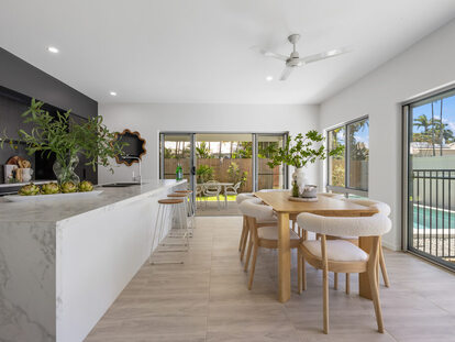
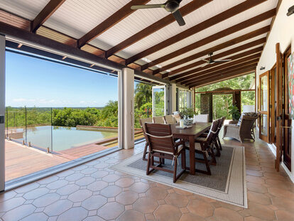
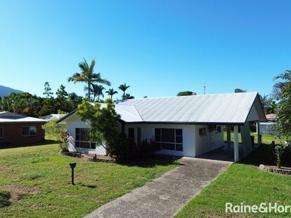
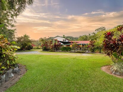
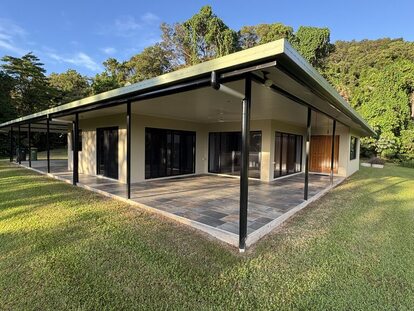
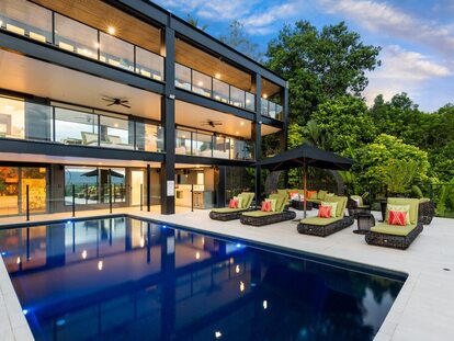
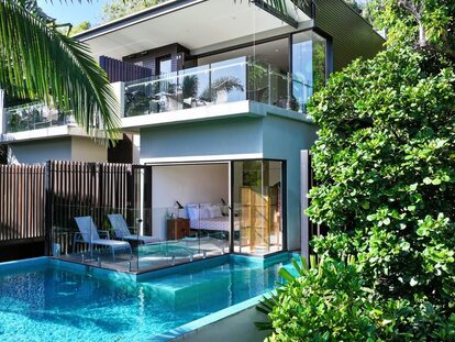
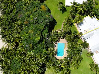
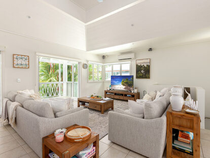
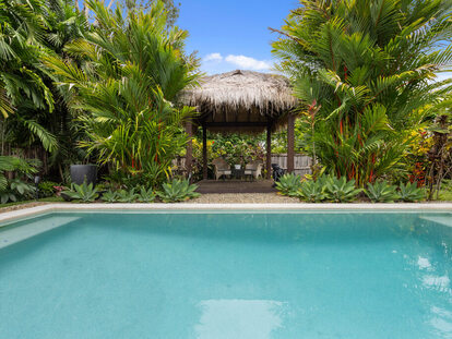
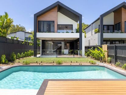
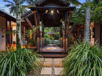
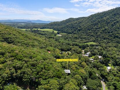
Mission Beach, nestled in the Cassowary Coast region, is a haven of tranquillity and natural beauty. Named after the endangered Southern Cassowary, it's a peaceful destination that attracts those seeking a serene lifestyle or a connection with nature.
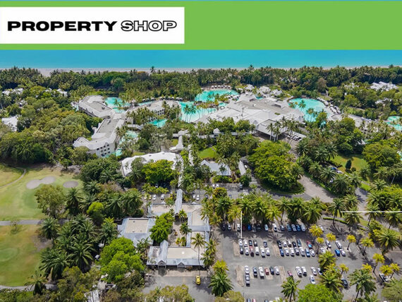
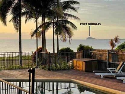
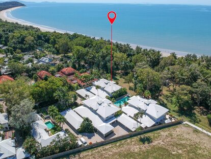
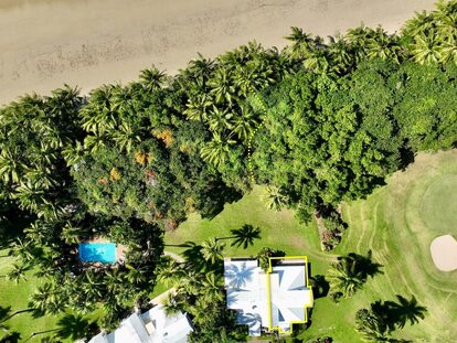
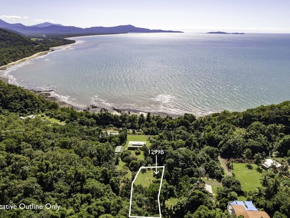
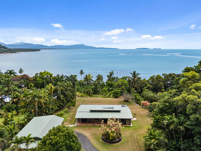
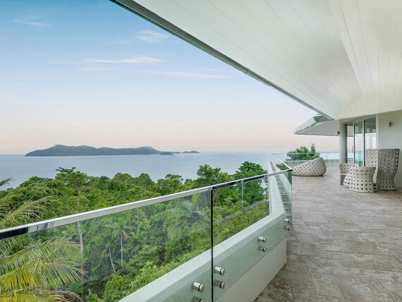
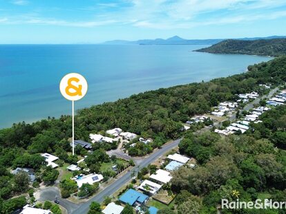
Mission Beach is the closest point on the mainland to the Great Barrier Reef, less than 40 kilometres offshore.
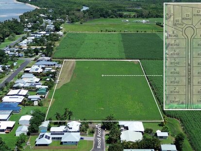
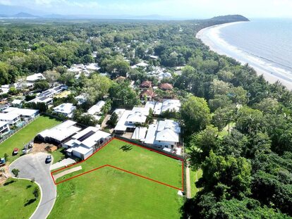
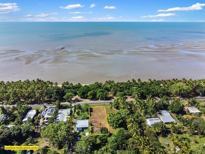
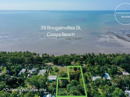
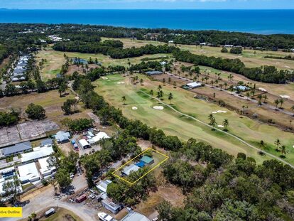
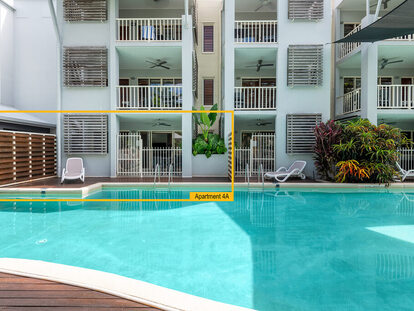
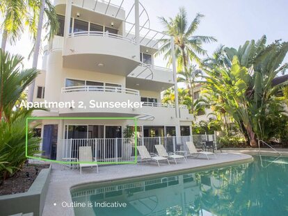
This coastal gem boasts a 14 kilometre stretch of pristine sandy beaches, linking three beautiful beaches and four charming villages: Garners Beach, Brooks Beach, Bingil Bay, Narragon Beach, Mission Beach, Wongaling Beach, South Mission Beach, and Lugger Bay.
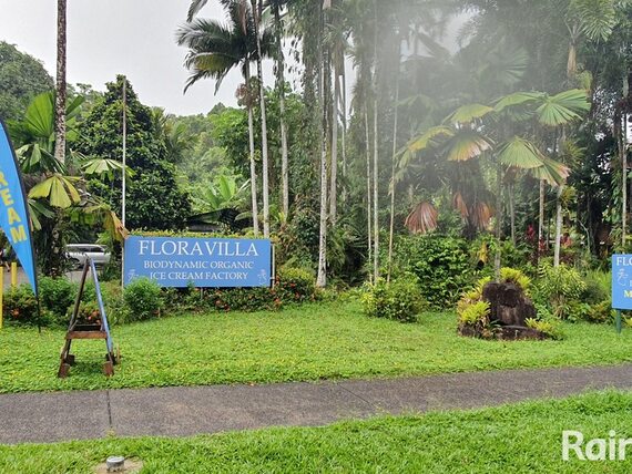
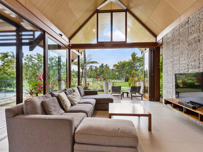
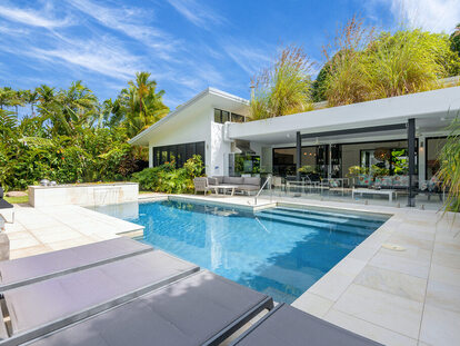
You can unwind at coastal cafes or explore hidden waterfalls and swimming holes in the nearby hills.
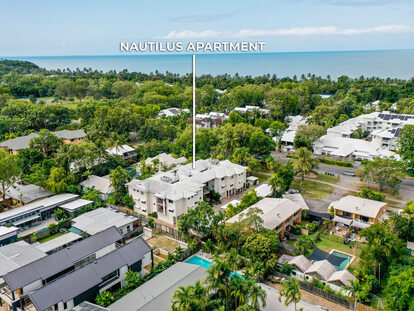
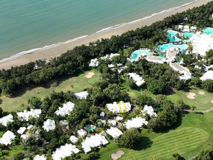
The adjacent Dunk Island, a ten-minute water taxi from Wongaling Beach, is a treasure trove of peaceful beaches.
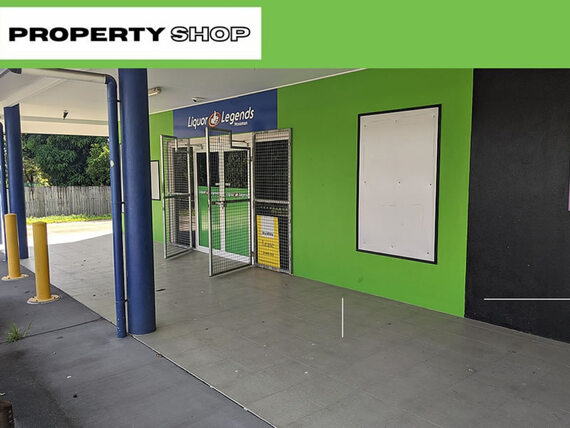
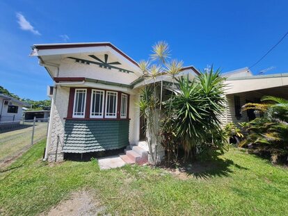
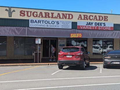
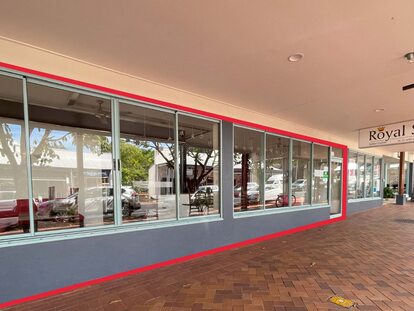
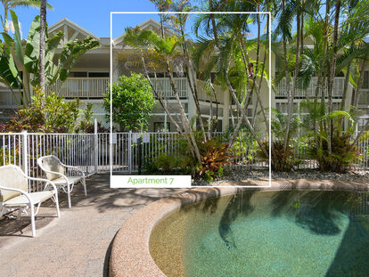
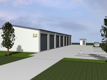
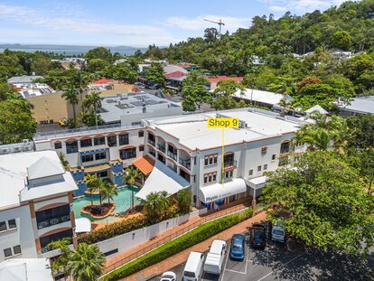
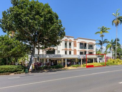
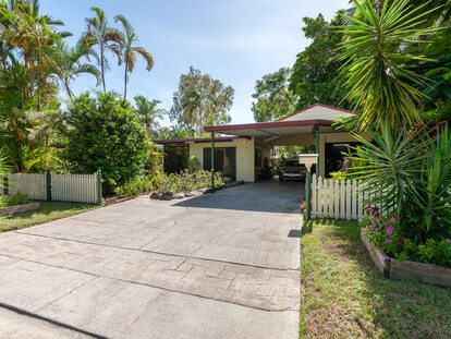
South Mission Beach offers the convenience of a shopping centre for your daily needs. Additionally, for families with children, Mission Beach State School is conveniently located at Wongaling Beach.
Real estate market statistics:
As of January 2025, here is an updated overview of Mission Beach, Queensland:
Location:
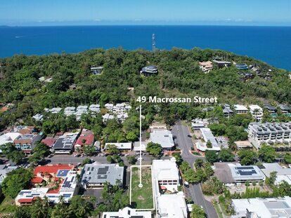
Mission Beach is a coastal locality situated approximately 139 kilometres south of Cairns and 240 kilometres north of Townsville. It encompasses a 14-kilometre stretch of pristine sandy beaches, linking several charming villages, including Garners Beach, Brooks Beach, Bingil Bay, Narragon Beach, Mission Beach, Wongaling Beach, South Mission Beach, and Lugger Bay.
Local Government Area (LGA) & Postcode:
Area:
Population:
- According to the 2021 Census, Mission Beach has a population of 1,014 residents, reflecting an increase from 815 in 2016.
Allhomes
Living in Mission Beach:
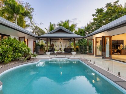
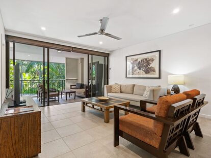
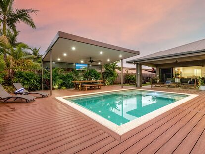
Mission Beach is renowned for its tranquil lifestyle, natural beauty, and proximity to the Great Barrier Reef, located less than 40 kilometres offshore. The area offers a range of amenities, including coastal cafes, hidden waterfalls, swimming holes, and access to Dunk Island via a ten-minute water taxi from Wongaling Beach. South Mission Beach provides the convenience of a shopping centre, and Mission Beach State School is located at Wongaling Beach, catering to families with children.
Real Estate Market Statistics:
-
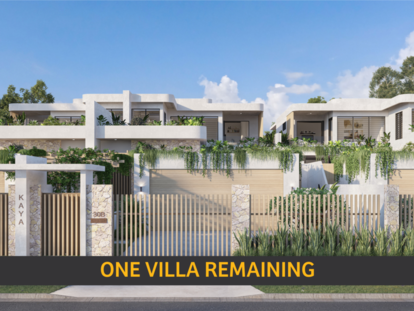
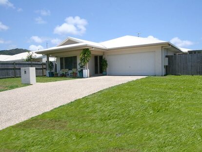
House Market:
- Median Sale Price: $560,000
- Annual Change: Decreased by 12.5%
- Total Houses Sold: 21
-
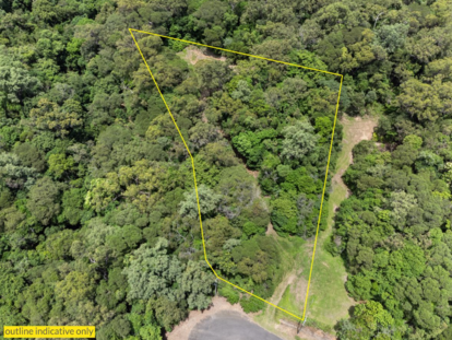
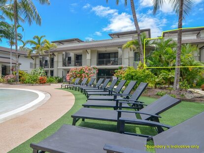
Unit Market:
- Median Sale Price: $337,500
- Annual Change: Increased by 60.71%
- Total Units Sold: 12
These statistics reflect market activity over the 12-month period leading up to January 2025. (Source: Coronis)